It really is astounding that anyone in their right mind would object to this developement, I can't see it doing anything but good for the area. Falmer is and always has been a pissy little hamlet with a mud bath to one side, inhabitted by slack jawed yokels !
You are using an out of date browser. It may not display this or other websites correctly.
You should upgrade or use an alternative browser.
You should upgrade or use an alternative browser.
LDC's Website
- Thread starter unnameable
- Start date
More options
Who Replied?Lord Bracknell said:Lewes District Council took their photos from a location within the City of Brighton & Hove.
I'd like to know when LDC were appointed official custodians of the amenities that are outside their area.
I thought the City Council was responsible for the public footpath in question. Surely it's up to them to decide whether the view from it is so precious that walkers need to be protected from it at all costs?
I wish I'd realsied that when I wrote my letter....
eastlondonseagull
Well-known member
So X is the stadium and square is where LDC's pics are coming from?
Wankers.

Wankers.
Barrel of Fun
Abort, retry, fail
This surely deserves an article in the paper as well as letters.
Would Andy Naylor cover this sort of thing? Or is he just the sports jock?
You could follow it up with an edited version. Good point to make, although the letter is class anyway.
Would Andy Naylor cover this sort of thing? Or is he just the sports jock?
sully said:I wish I'd realsied that when I wrote my letter....
You could follow it up with an edited version. Good point to make, although the letter is class anyway.
Last edited:
The Large One
Who's Next?
Village.zefarelly said:It really is astounding that anyone in their right mind would object to this developement, I can't see it doing anything but good for the area. Falmer is and always has been a pissy little hamlet with a mud bath to one side, inhabitted by slack jawed yokels !
What's the difference? You can find out on Thursday night.
")
Garry Nelson's Left Foot
Well-known member
The Large One said:The village is to the east of the stadum site. The pond is the skid mark between Park Street and East Street.
So, to clarify. The pond's on the other side of the road and the village isn't even in the picture?
They're not even bloody NIMBY's. The stadium's NOWHERE NEAR their f***ing backgardens. Tossers.
The Large One
Who's Next?
No, the village is in that 'square' area where Park Street and East Street are, and it continues north on to the other side of the A27 (Lewes Road).garry nelsons left foot said:So, to clarify. The pond's on the other side of the road and the village isn't even in the picture?
They're not even bloody NIMBY's. The stadium's NOWHERE NEAR their f***ing backgardens. Tossers.
eastlondonseagull
Well-known member
The Large One said:No, the village is in that 'square' area where Park Street and East Street are, and it continues north on to the other side of the A27 (Lewes Road).
Which side of the A27's the pub?
The Large One
Who's Next?

Right, to clarify once and for all.
A = Sussex University campus
B = Eastern end of Moulsecomb estate
C = Falmer High School
D = Falmer village (both Ds)
E = University of Brighton, Falmer campus
F = Proposed stadium site
G = Falmer Station
H = No Man's Land. Middle of nowhere, but seemingly a site from which thousands will have their view of the South Downs ruined by this *ahem* monstrous creation.
The Swan pub is where the higher of the two Ds is located.
Due west of Sussex University is Stanmer Park (the greenery plus that 'grey' lane, although most of the park is west of the lane and off the picture). Lewes District Council are saying in one of their challenges that Stanmer Park will be ruined, especially the entrance to the park, which is actually that little crook in the road on the south side of the A27 (the park is on the north side), due west of where I have put the letter 'C', and well outside their planning jurisdiction.
You couldn't make this shit up.
Last edited:
Curious Orange
Punxsatawney Phil
The Large One said:
There is a line running diagonally up the field between the big F and Falmer label which if memory serves is the boundary of the AONB, the stadium is on the non-AONB side and the coach park on the you can't spoil this wonderous countryside side.
Someone please correct me if I'm wrong.
Last edited:
The Large One
Who's Next?
That's about the size of it.Curious Orange said:There is a line running diagonally up the field between the big F and Falmer label which if memory serves is the boundary of the AONB, the stadium is on the non-AONB side and the coach park on the you can't spoil this wonderous countryside side.
Someone please correct me if I'm wrong.
Curious Orange
Punxsatawney Phil
The Large One said:That's about the size of it.
Good, 'cos that's been pissing me off for ages - People going on about the stadium spoiling the AONB when the actual building isn't even in it!! The AONB will only be spoiled by a bit of grey tarmac where once there was some mud.

Garry Nelson's Left Foot
Well-known member
The Large One said:
Right, to clarify once and for all.
A = Sussex University campus
B = Eastern end of Moulsecomb estate
C = Falmer High School
D = Falmer village (both Ds)
E = University of Brighton, Falmer campus
F = Proposed stadium site
G = Falmer Station
H = No Man's Land. Middle of nowhere, but seemingly a site from which thousands will have their view of the South Downs ruined by this *ahem* monstrous creation.
The Swan pub is where the higher of the two Ds is located.
Due west of Sussex University is Stanmer Park (the greenery plus that 'grey' lane, although most of the park is west of the lane and off the picture). Lewes District Council are saying in one of their challenges that Stanmer Park will be ruined, especially the entrance to the park, which is actually that little crook in the road on the south side of the A27 (the park is on the north side), due west of where I have put the letter 'C', and well outside their planning jurisdiction.
You couldn't make this shit up.
Perfectly clarified.

That picture should be made into a poster/flyer and handed out around Brighton/lewes/the rest of sussex. That way the people who claim that it's going to ruin the downs can see for themselves where it's going to go.
Rangdo
Registered Cider Drinker
garry nelsons left foot said:Where's the pond that they're always banging on about in that map? And, where exactly is falmer bloody village?
There are two separate rows of trees between the pond and the stadium plus the stadium will be at a lower level.
If you stand at the pond there will be absolutely no evidence that a stadium even exists there.
Unless you are many stories tall like Godzilla.
seagullsovergrimsby
#cpfctinpotclub
If the stadium is built in a "dip" and there is an adequate amount of landscaping with leylandii conifers then no-one in the village will hear anything on match days and rock concert events. What happens though when get into the Premiership and have to expand the capacity?
eastlondonseagull
Well-known member
Rangdo said:There are two separate rows of trees between the pond and the stadium plus the stadium will be at a lower level.
If you stand at the pond there will be absolutely no evidence that a stadium even exists there.
Unless you are many stories tall like Godzilla.
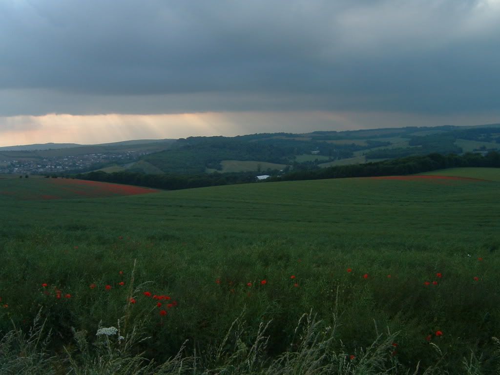
But then you see press photos like this when you type 'Falmer' into search engines.
Caption reads: 'A general view of the area around Falmer, the proposed area for the development of Brighton's new stadium, on January 20, 2006 in Falmer, England. Deputy Prime Minister John Prescott's office has realised a mistake in his letter approving the go ahead for the new stadium on April 6, 2006, potentially putting at risk the development.'
Talk about misrepresentation


Woodchip
It's all about the bikes
sully said:Any chance of sharing your email, Woodchip? It would be interesting to compare notes!
Now I'm home I can share it....
Hello,
The photos you show on your website (http://www.lewes.gov.uk/environment/8276.asp) show the proposed site of the new community stadium at Falmer. May I point out that they do not show the proposed site, at all, as the site is hidden by a natural dip in the ground from this angle (your point X on the PDF document)? You may, or may not, remember but this was one of the reasons for choosing Falmer as the best site for the stadium. This, on top of your doctored images in the District Link flyer (available to view here, http://www.lewes.gov.uk/Files/distlink_spring06.pdf) proves that you will stoop as low as possible to LIE to your constituents. Is this your own version of indoctrination, and trying to win a few NIMBY votes? Or is it more propaganda trying to hide the fact that you are spending tax payers’ money on doctoring images, and stopping sporting opportunities within your jurisdiction?
In a country that is gradually become more obese, and everyone is pushing for children to exercise it appears that Liberal Democrats are trying to push for children to stay indoors, watching TV, and getting fat.
I think you will find the attached images of interest.
Falmer.jpg is an aerial view showing a different part of the proposed site, compared to the one on falmer.org.uk (newfalmerair.jpg)
Campus2.jpg shows a beautiful view of the unspoilt countryside (the yellow field on the left is the proposed site). How could anyone want to build on that?!?!
I thought I would enclose, for your own viewing pleasure an image of the proposed Sewer works in Peacehaven (btnAerial550.jpg). This is a 100% Greenfield site to handle Brighton and Hove’s sewage 100% in your jurisdiction.
Another image I feel you may be interested to look at is that of the proposed incinerator in Newhaven (incinerator_site_pic.jpg). This, yet again is 100% in your area, and will increase the amount of waste lorries travelling down the A26, increase air pollution and decrease house prices for miles around.
For those of you that maybe unaware of the doctored images in the District Link flyer (http://www.lewes.gov.uk/Files/distlink_spring06.pdf) …
Page 6 – two hikers superimposed to hide the University of Brighton buildings.
Page 8 – picture of the walkers is nowhere near Falmer, and is in fact Ditchling Beacon
One last point I would like to make is a couple of dictionary quotes…
Liberal… believing in or allowing more personal freedom and a development towards a fairer sharing of wealth and power within society
Democracy…the belief in freedom and equality between people, or a system of government based on this belief, in which power is either held by elected representatives or directly by the people themselves
Based on this, why do you insist on holding meetings and voting behind closed doors, and not holding a referendum?
Please do NOT just direct me to your FAQ’s page as that doesn’t answer any of my questions. I would like a personal reply to each of the questions posted.
Many thanks,
Last edited:
Yoda
English & European
sully said:
You can only just see the Indoor Tennis Centre from that picture.
The Large One
Who's Next?
SORRY!Curious Orange said:Good, 'cos that's been pissing me off for ages - People going on about the stadium spoiling the AONB when the actual building isn't even in it!! The AONB will only be spoiled by a bit of grey tarmac where once there was some mud.
Just re-read your post.
That line is the boundary of Lewes District Council / Brighton & Hove City Council, and it also marks the boundary, within that field, of the proposed South Downs National Park. As for the AONB, virtually all of that picture (save the Moulsecoomb estate and bit of the western part of the A27 are in the AONB.
Sorry.


Curious Orange
Punxsatawney Phil
The Large One said:SORRY!
Just re-read your post.
That line is the boundary of Lewes District Council / Brighton & Hove City Council, and it also marks the boundary, within that field, of the proposed South Downs National Park. As for the AONB, virtually all of that picture (save the Moulsecoomb estate and bit of the western part of the A27 are in the AONB.
Sorry.
... and I've been busy doing some research. What I said is certainly TRUE for the proposed boundary of the National Park, here is the proposal map, and I believe that the proposed boundary for the National Park followed the boundary of the AONB around the bit we're interested in - I wrote in support of removing the Village Way North (coachpark) bit from the proposal.
I'll dig further seeing as how there is nothing on telly (other than a front speaker).