I know there are many on here interested in history, archaeology and geology. This should be right up your street (or on your hill):
Aerial imagery mapping hundreds of South Downs archaeological sites from the Neolithic period to the Second World War features in new research.
Historic England analysed more than 9,500 aerial pictures and airborne laser scans to pinpoint map marks on the Downs to the north of Brighton.
They now feature in a new report revealing the area's rich history. Report
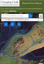
An accompanying interactive map encourages people to add data to report the current appearance or condition of earthworks, and share personal links to a site. Map
For example, here is Devil's Dyke.


