Edward Street (the clue is that the road sign says William Street, I think). Quite a distinctive slope to those roads isn't there.
You are using an out of date browser. It may not display this or other websites correctly.
You should upgrade or use an alternative browser.
You should upgrade or use an alternative browser.
Brighton picture quiz
- Thread starter The Large One
- Start date
More options
Who Replied?The Large One
Who's Next?
- Thread starter
- #582
I'd say (a very narrow) Edward Street too.
skipper734
Registered ruffian
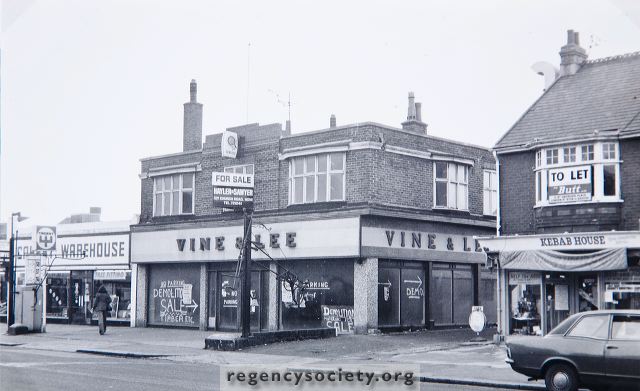
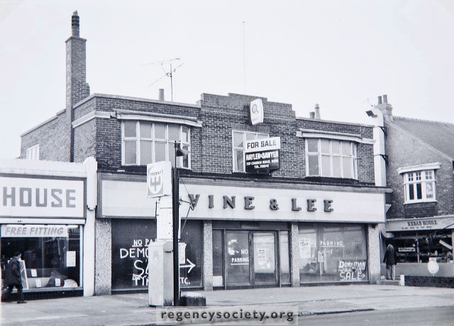
It's Station Road - don't think there is Waitrose there now.


I don't think anybody has really got this yet. It's now Tesco's in Station Road.
The Large One
Who's Next?
- Thread starter
- #584
I don't think anybody has really got this yet. It's now Tesco's in Station Road.
WADR, there wasn't actually a question asked about this place - 8Ace just put the picture up.
Peasy one now...
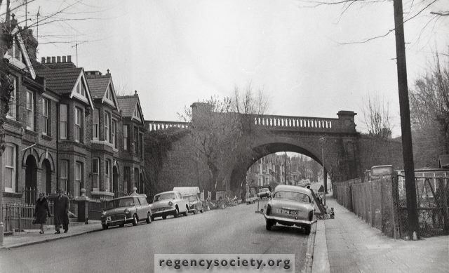
Which bridge is this?

The Large One
Who's Next?
- Thread starter
- #588
The Large One
Who's Next?
- Thread starter
- #589
Harder one this.
Where was this, and what's there now?

Where was this, and what's there now?

Southover Street Seagull
Well-known member
Is it Islingword Road?
No, further East.
Southover Street Seagull
Well-known member
Edward Street (the clue is that the road sign says William Street, I think). Quite a distinctive slope to those roads isn't there.
Correct it is Edward Street viewed from Grand Parade at the start of the road widening.
The Large One
Who's Next?
- Thread starter
- #592
No, further East.
Sneaky. Edward Street is SOUTH of Islingword Road.
Harder one this.
Where was this, and what's there now?

Clue please TLO.
smiler
Well-known member
King st - Multi storey car park?
The Large One
Who's Next?
- Thread starter
- #595
Clue please TLO.
Certainly. See subsequent answer below...

King st - Multi storey car park?
Dover
Home at Last.
Are you walking down towards the park or up towards the Pepper Pot?
If you are walking down and are talking about the bushes and trees on your left after the junction of Tower Road and Attree Drive; they are part of the remains of Attree Villa I think.
Garden Temple, Attree Villa, Queens Park, Brighton:: OS grid TQ3204 :: Geograph Britain and Ireland - photograph every grid square!
http://www.mybrightonandhove.org.uk/page_id__8547_path__0p115p203p818p.aspx
No it's in the park itself, and I have no idea. If you come into tje park from that entrance, go into the dog area, and start to walk diagonally towards the pond. Don't walk too far, only about 20 ft or so, and you can see the bricks I mean. They can also bee seen on Google Maps (satalite) but I do not know how to post from that link.
Southover Street Seagull
Well-known member
No it's in the park itself, and I have no idea. If you come into tje park from that entrance, go into the dog area, and start to walk diagonally towards the pond. Don't walk too far, only about 20 ft or so, and you can see the bricks I mean. They can also bee seen on Google Maps (satalite) but I do not know how to post from that link.
I know where you mean. I'll ask some people who have lived in the area for a long time and see if they know.
The Large One
Who's Next?
- Thread starter
- #598

The shorter building on the right is no longer there. What building is there now?
